Here we go. Welcome to 2016 and the first post of the year. What do you think it should include? A traditional story of me walking somewhere and falling over or something a little different? A week ago I'd actually …
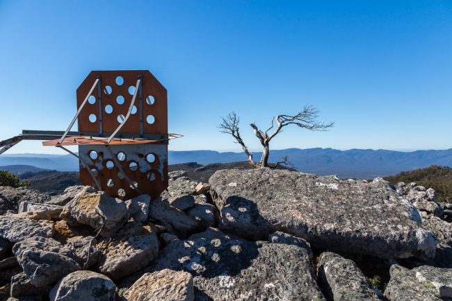
Mt Thackeray, Grampians National Park
Look out. It's another post. Two in a year so far. 2019 is going off! Then again, I shouldn't get too carried away, as the pressure will be on to create more waffle content. Anyway, time to do some house-cleaning …

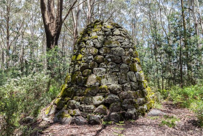
Somnambulant Blues
Well, this has been a while between posts. What's it been? More or less a year? Oh well, that's the way it goes sometimes. I guess I should bring you up to date with the past 12 months? You better …
Mt Juliet, Yarra Ranges National Park
Well, it's a new year. Actually, should that have been in capitals? I'm not sure, so I'll do it again and cover all the bases. Well, it's a New Year. What's to come? I've got no idea, probably more half-baked …
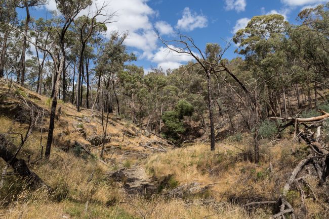
Tarilta Creek, Upper Loddon State Forest
Things move slowly in this place, as here's a post I've been intending to write for about two years. Between Daylesford and Castlemaine, this walk along Tarilta Creek, Upper Loddon State Forest has been a favourite since I first wandered …